Zoom in to load boundaries
Help
Introduction
This tool aims to empower editors of Wikivoyage to intuitively create district overview maps (e.g. for Berlin).
Video
Workflow
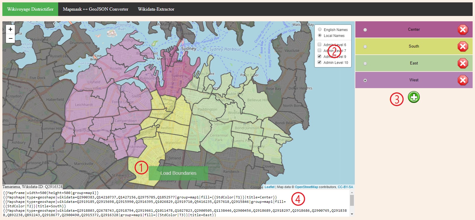
- Go to the location on the map, that you want to districtify and click on Load Boundaries.
- Hide all the administrative levels, which are not relevant to you.
- Define districts:
- By adding, removing and naming them.
- Add polygons to each district by clicking on the map.
- Once satisfied click in the textbox below the map, copy the output and paste it to Wikivoyage.

FAQ
I get no or very few boundaries in my region
Most probably the boundaries have not been added to OpenStreetMap yet. You can either wait and hope that somebody will add them for you or get active yourself, head over to OSM and draw the district boundaries and add Wikidata tags to them. Just be aware that those boundaries have to be official districts!
Can I improve this web app?
If you have ideas on how to make this tool better please head over to the GitHub repository and participate.
Can I send you a donation?
Sure, thank you! You can send me some Satoshis via the Lightning network. Here is my Tallycoin Fundraiser Page.